Mapping Historical Lanzhou
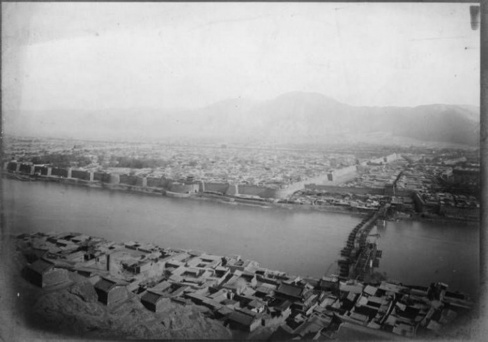
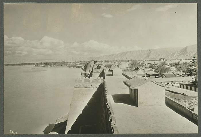
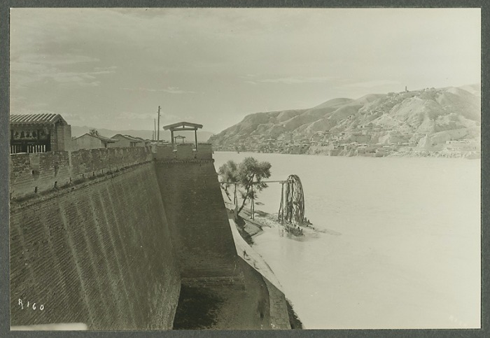
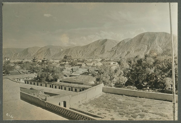
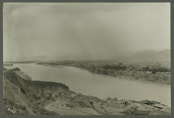
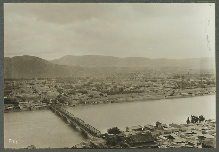
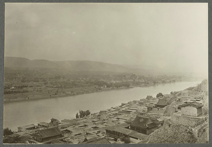
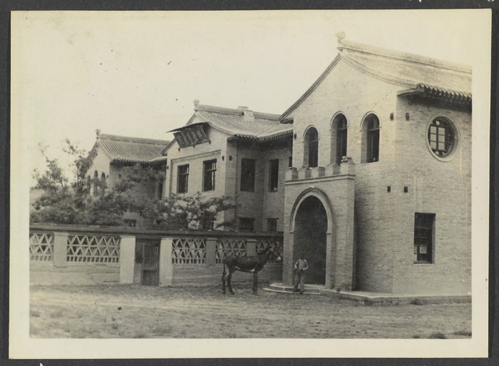
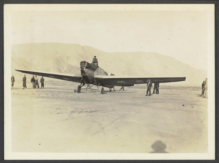
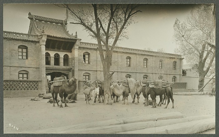
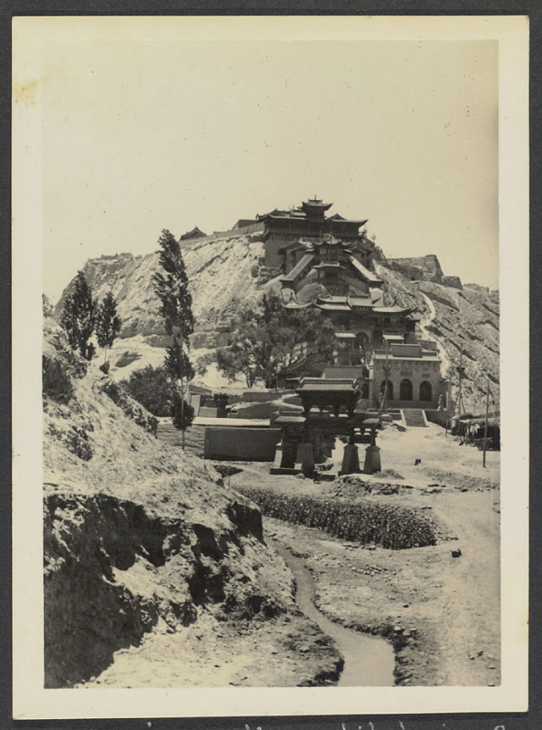
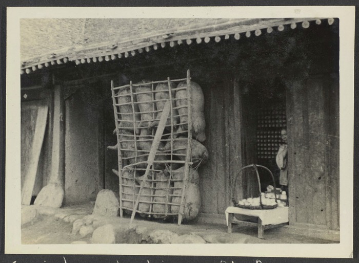
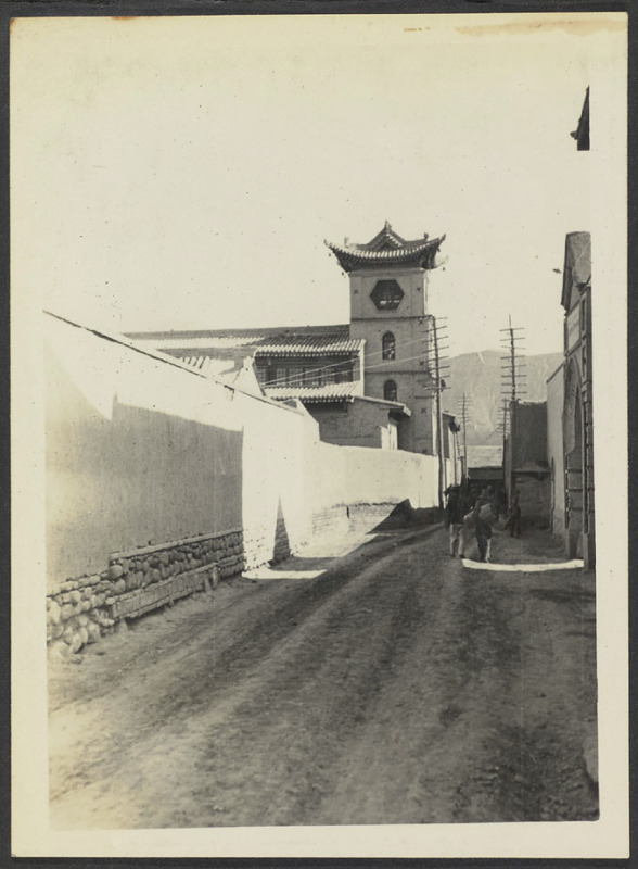
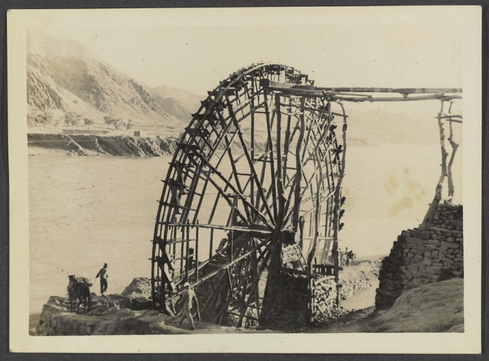
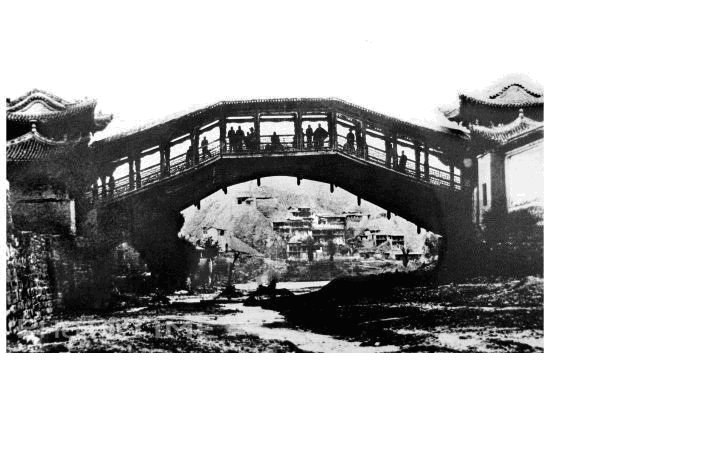
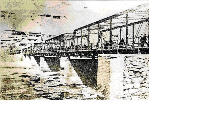
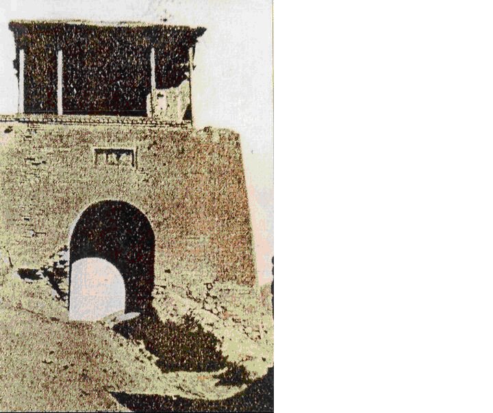
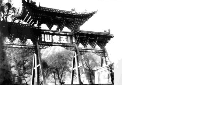
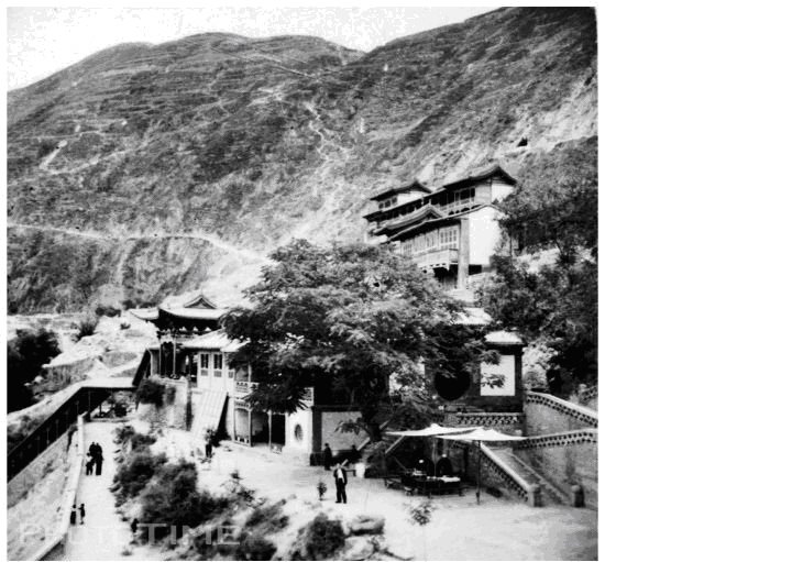
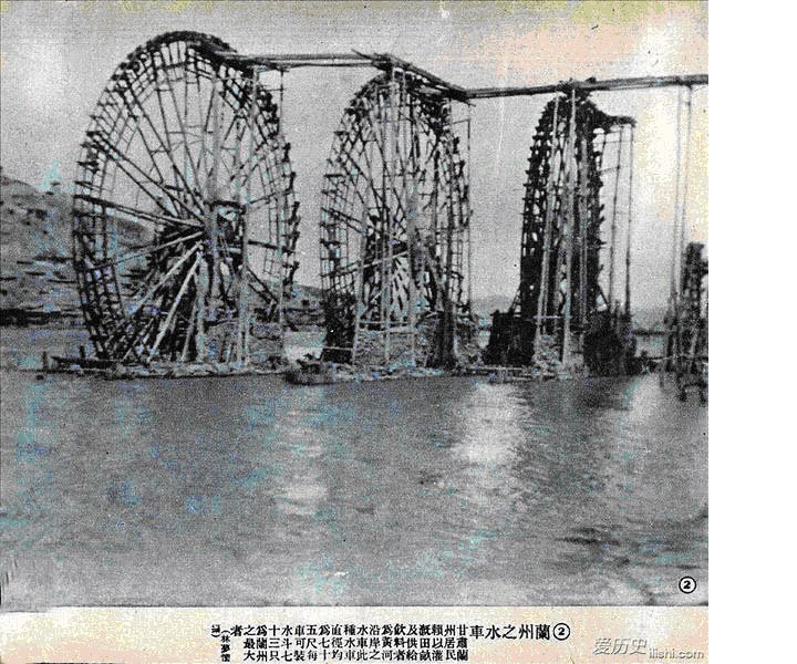
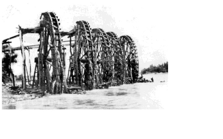
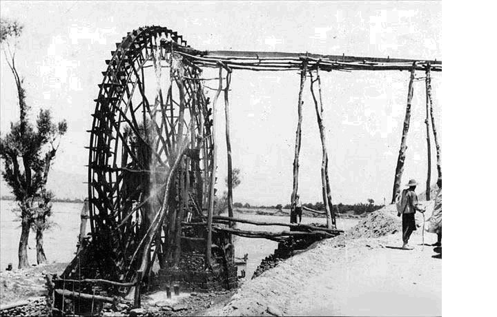
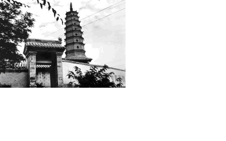
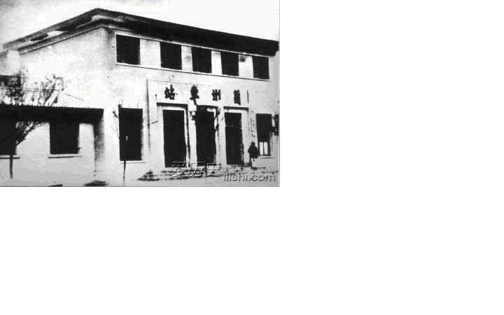
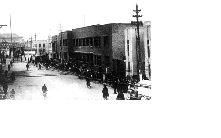
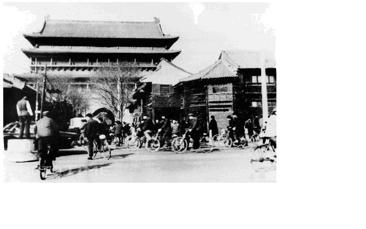
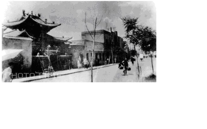
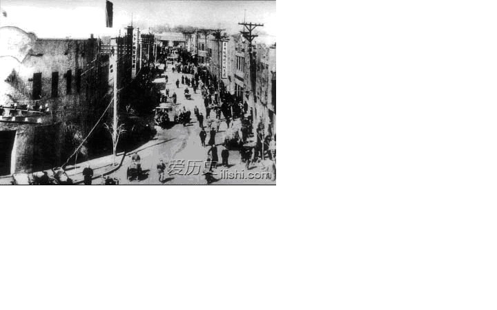
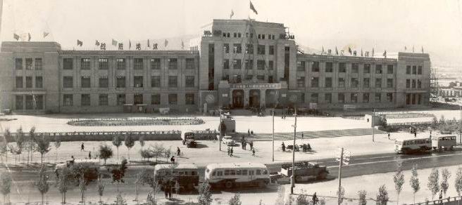
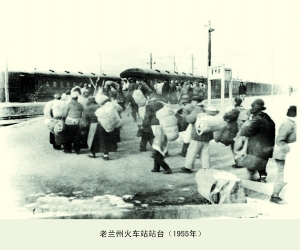
Following on from earlier blog posts, I've attempted to map some of the historical photos below. The photos were found mainly on Chinese sites (see each placemark for the URLs). The websites don't tend to credit their sources or the photographers, so I have named the photographers I happen to know. The numbers (#) correspond to the numbering on the website where most of the photos come from. Captions and other information come from the websites and/or myself. You will get a better impression if you go directly to the Historical Lanzhou Google Map page.
View Historical Lanzhou in a larger map
Part 1


Part 2


Sources and further reading
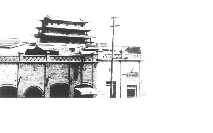
- "Remembering 60 Years after the Liberation." The majority of the photos can be found here.
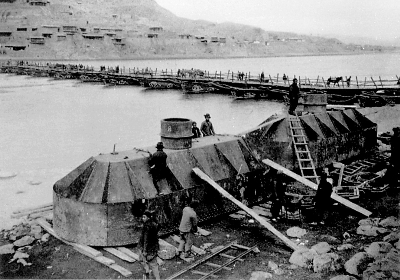
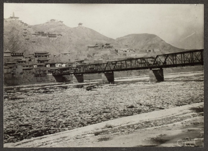
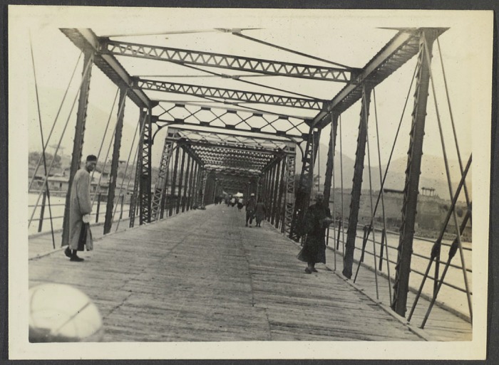
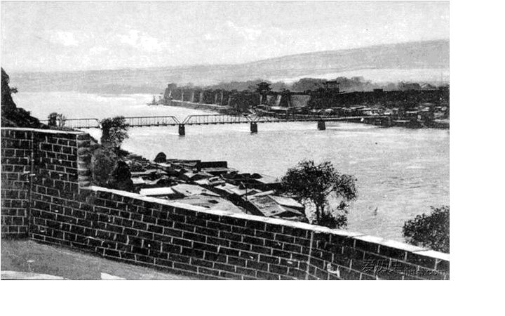
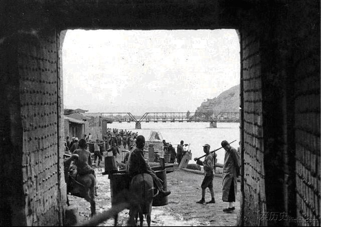
- "100 Years of Zhongshan Bridge - 10 Stories." This is where I found information about the fire on the bridge during the 1949 Battle of Liberation (story 5) and the fact that the rounded arches were an addition in 1954 (story 6). See 'Liberation of Lanzhou' photos.
- "The First Bridge over the Yellow River." Quote: "The bridge as metaphor for love, life and death – even an eternal gateway to Paradise - has long haunted the innermost depths of the human psyche."
- "Battle to Settle the Fate of the Northwest." More on the Battle of Liberation.
- "60 Years of Photos"
- "Lanzhou Campaign." The Wikipedia entry for the Battle of Liberation.
- "Lanzhou 1949." A film depicting the Battle of Liberation was released in 2009.
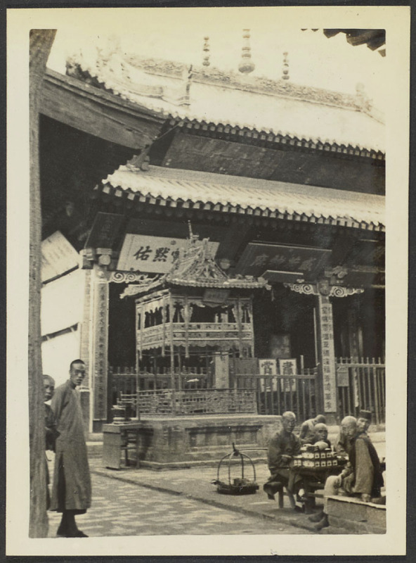
- "Pickens Collection on Muslims in China" (Harvard University)
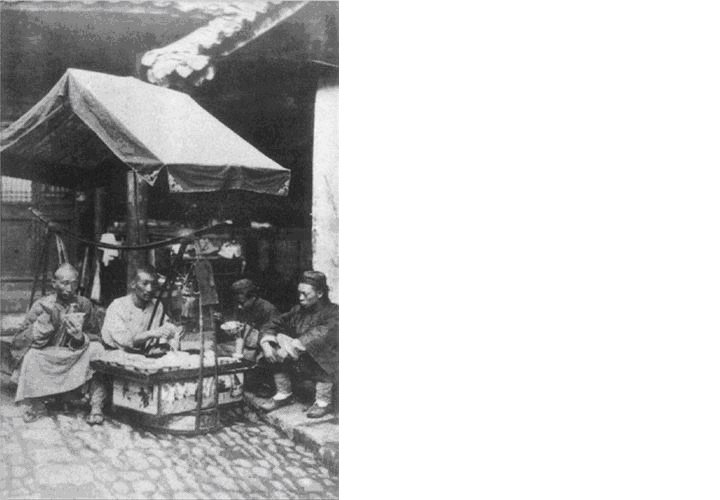
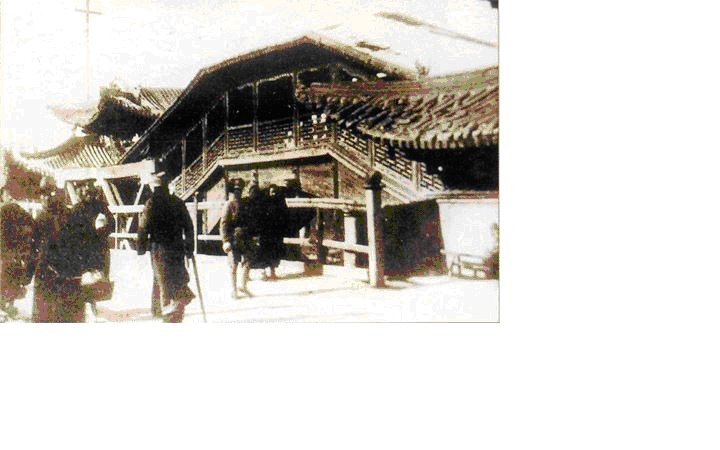
- "Visitors to Lanzhou in the Early-Mid 1900s"
- "1994 vs 2009"
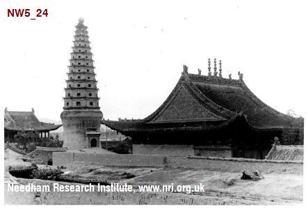
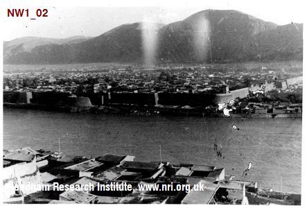
- Northwest Journey : Joseph Needham Photographs - Wartime China, 1942-1946
COPYRIGHT AND FAIR USE:
In showing these historical photographs for noncommercial and educational purposes, I have followed fair use guidelines.
In showing these historical photographs for noncommercial and educational purposes, I have followed fair use guidelines.