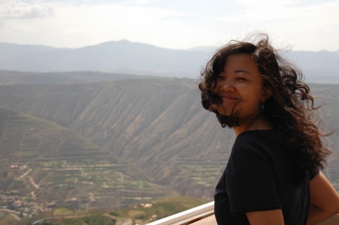
The weather has been hot and sunny, so we've been visiting the hills to the north and south of the city over the last couple of days.
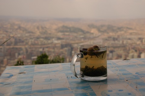
Xujia Shan...
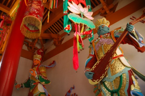
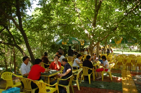
...is on the northeast edge of Lanzhou. It's mostly a place people come to drink tea and play Ma Jiang in the coolness of the tree covering.
Chinese: 徐家山 (Xújiā Shān)
Location: On the northeast edge of the city
Buses: #114 from the train station, or #107 from Xizhan (西站, Xīzhàn) and Xiguan shizi (西关什子, Xīguān shízī)
Cost: 5 RMB


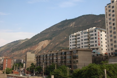
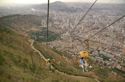
Gaolan Shan...
...is the hill in the distance in the last photo above. We visited on almost the perfect day for visibility across the city.
Chinese name: 兰山森林公园 (Lánshān Sēnlín Gōngyuán)
Location: On the south side of the city, directly over the train station
Getting up: The easiest way is probably by chairlift, but you can walk up the hillside, cycle up, or get a taxiCost: 6 RMB park entrance at the top
Chair lift (兰山索道, Lán Shān Suŏdào)
Tickets are available near the entrance to Wuquan Shan Park (五泉山公园, Wŭquán Shān Gōngyuăn), or at the chairlift itself. You have two options. Either walk up to the chairlift through some narrow alleys along the western boundary of the park, or you can walk through the park and get to the chairlift via the western gate.
Getting there: Buses to Wuquan Shan: #2, 18, 117
Cost: Chairlift 20 RMB up, 10 RMB down, or 25 RMB both ways. 6 RMB park entrance at the top (also, Wuquan Shan Park 6 RMB, if you decide to combine the two parks)
Walking
I'm not really sure where people set off. If you want to do some walking, it might just be easier to use the chair lift to get up, and then follow the various paths down.
Cycling
This takes about an hour, on good roads. The route actually begins quite a way west of the hilltop. 500m south of Xiguan Crossing (西关什字, xīguān shízì), where Zhong Shan Lu (中山路, zhōngshān Lù) meets Baiyin Lu (白银路, Báiyín Lù), there is a road that crosses the railway tracks, and then starts to climb. Look out for the signpost. It would be useful to have a map with you, but basically head upwards and eastwards. Locals will point the way. Once you're higher up (having passed through a couple of small hillside residential areas, the route becomes obvious. Near the summit, the road forks, giving you a choice of continuing on the north side or south side of the mountain.
 RSS Feed